Sentinel 2 Mosaic Sample
Created using Google Earth Engine, and further processed with GDAL tools.
Digital Elevation Model (DEM) Basemap
USGS SRTM DEM, generated using GDAL.
OSM Raster Basemap
OpenStreetMap raster tiles basemap for Canada, processed with PostGIS and imposm3, and styled with tilemill.
Language Dot Map
Dot map displaying the population distribution of official languages in Canada (full size). Every dot represents an individual, as reported by the 2006 Census of Population.
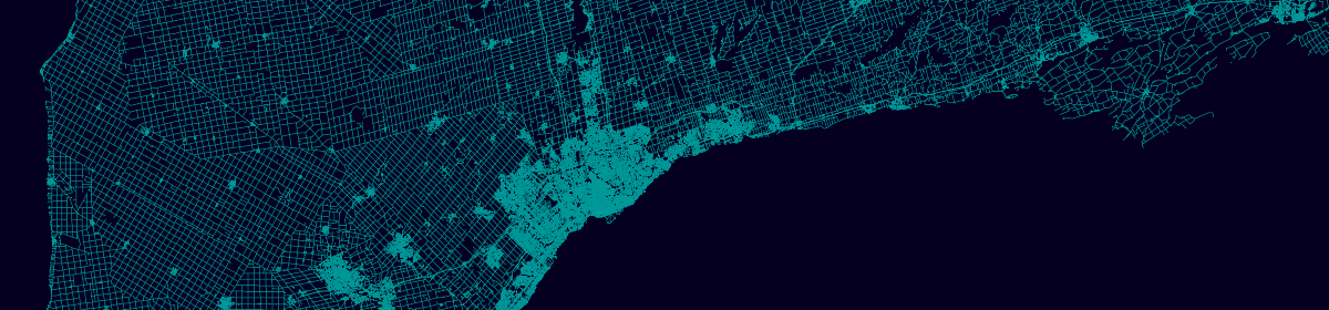
ON Roads
An “all streets” style vector map of Ontario, built using tippecanoe, tileserver-gl, and mapbox-gl (full size).